A free program for Android, by Laboratório de Geomática.
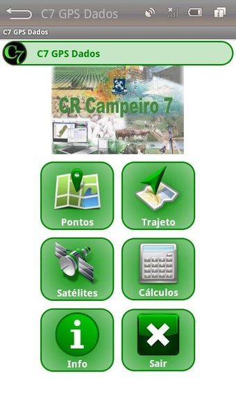
C7 GPS is a mobile application used to obtain the coordinates of a point in space. It can be used for a variety of purposes, such as geocaching, treasure hunting, hiking, and even for recreational activities.
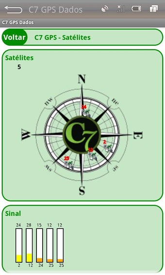
It is based on the GPS network, which is a system of satellite sensors that can determine the position and time of an object anywhere on Earth. This allows you to determine the position of your current location in space.
The system can also be used to obtain the position and time of an object on Earth. It can do this by using a GPS receiver, which is a device that can receive signals from the satellites and convert them into information that can be used to determine the position of an object.
The system has two main components, the satellites and the GPS receiver. The GPS receiver sends a signal to the satellites that are in orbit, and the satellites send a signal back to the GPS receiver. This signal contains the information that can be used to determine the position of an object.
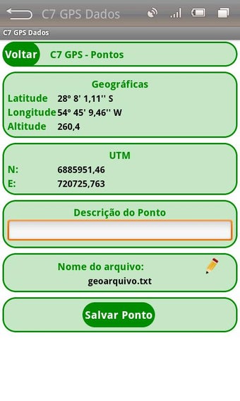
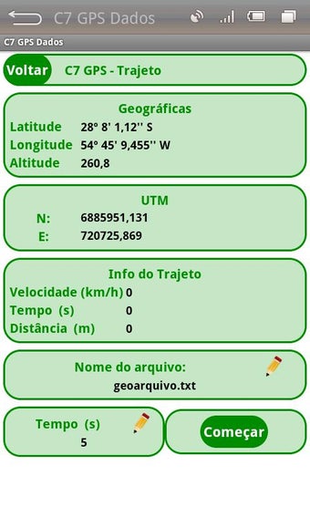
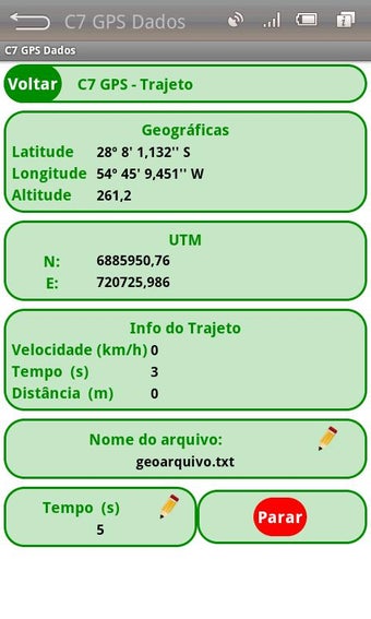
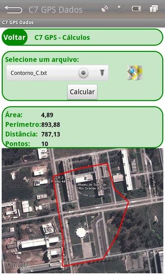
The C7 GPS Application Data aims to obtain the coordinates of individual points (waypoints) or tracks, allowing the storage of the same file on a GeoTXT.